smartstop

Nighttime city street scene with a bus stop, SmartStop illuminated, showing routes to Bay Ridge and Downtown Brooklyn, and several parked and moving cars along the street with buildings and streetlights in the background.

with a focus on the many diverse communities that use the bus to make their daily commutes, smartstop reimagines the iconic bus stop poles in new york city to allow safe gathering while waiting for the bus through an innovative wayfinding and integrated lighting system.

A man sitting at a bus shelter on a city sidewalk, holding a phone and a bag. The bus shelter has a digital advertisement and is located at Castleton Avenue & Taylor Street. Nearby are bus stop signs, a mailbox, and trees.

bus stops are integral to the daily lives of many marginalized groups in new york city, serving new yorkers with visual, mental, and mobility impairments, as well as low-income communities of color.

how can we use the heavy daily usage of bus stops to address inequity in access to safe transportation hubs?

THE DESIGN

SmartStop, bus stop sign and digital display for bus schedule at Flatbush Avenue and Utica Avenue, Brooklyn, featuring signs for routes B9 and B41, with route information and maps.

THE ICON

  • eye-catching red ring design

  • indicates stop name in a central location

  • integrated light allows for visibility at night

THE BUS ROWS

  • real-time arrival

  • next bus indicator

  • intuitive dot & line design indicates travel direction

2/3 scale physical model with enlarged info panel to show detail

THE INFO PANEL

  • e-ink display provides up-to date info

  • WalkNYC graphic layout

  • bus arrival audio provides accessibility accommodations

  • integrated lighting illuminates ground to make riders visible to drivers

Bus stop shelter with route map and timetable for the B41 bus to Downtown Brooklyn, located at Flatbush Avenue and Utica Avenue.

RESEARCH

SURVEYS

using facebook and instagram, i deployed two surveys, reaching over 100 respondents from 25 different neighborhoods across all the boroughs of the city.

new yorkers expressed their opinions on amenities and signage preference, these surveys helped narrowing down my design concept and scheme.

Screenshot of a data table listing factors for determining safety at bus stops, including nearby businesses, location, seating, shelter, arrival times, light/shelter, general safety, and attributes of public space, with options for user choice and images.
Screenshot of a spreadsheet with columns related to bus system information, including bus routes, signage components, direction indicators, maps, and timings.

i conducted two types of observational studies at bus stations across the city, quantitative and qualitative.

i was able to document how frequent stops were occupied, and what types of activities people were performing at stops.

OBSERVATION

Screenshot of a schedule or table listing destinations, names, types, and activities of people, including mentions of carrying groceries, talking on the phone, and sitting on a bench.

with the help of numerous professionals in design, wayfinding, and public transit industries, i was able to create a design solution that was feasible and widely effective.

INTERVIEWS

A person smiling in front of a window with a city skyline background.
A young man with long, wavy brown hair and a light complexion smiling at the camera, indoors in a modern building with large glass windows and structural beams.

joshua langham, director, nyc dep. of health and mental hygiene

jeb polstein, designer at
mathews nielsen landscape

jessica wolf, wayfinding designer at arup

ignacio ciochinni, street furniture designer

A man with glasses and dark hair smiling while sitting on a bench on a city street with cars and pedestrians in the background.
Woman standing with hands on hips in front of a wall covered with colorful sticky notes.
A man in a light purple shirt smiling, sitting at a desk with a computer showing a map, in an office with a "Rail 99 Fair" poster on the wall.
Black and white portrait of a young man with glasses, a beard, short hair, smiling showing his teeth, wearing a sweater.

david levinson, professor of transport at university of sydney

kirk hovenkotter, executive director at transportation choices coalition

INTERACTION MAPPING

A bus stop shelter with a bench and an information panel, situated next to a road with cars. There are trees and highway signs visible in the background under overcast weather.

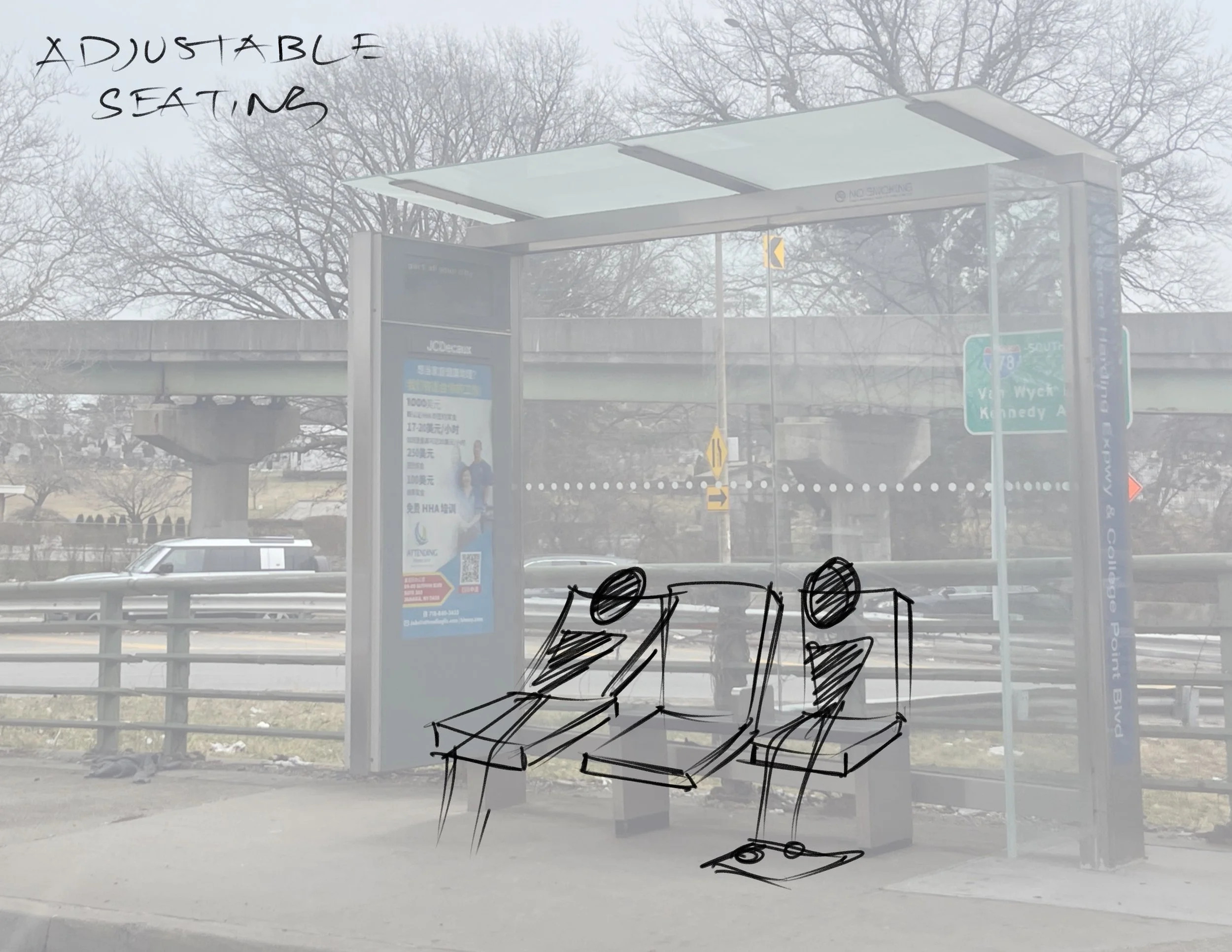
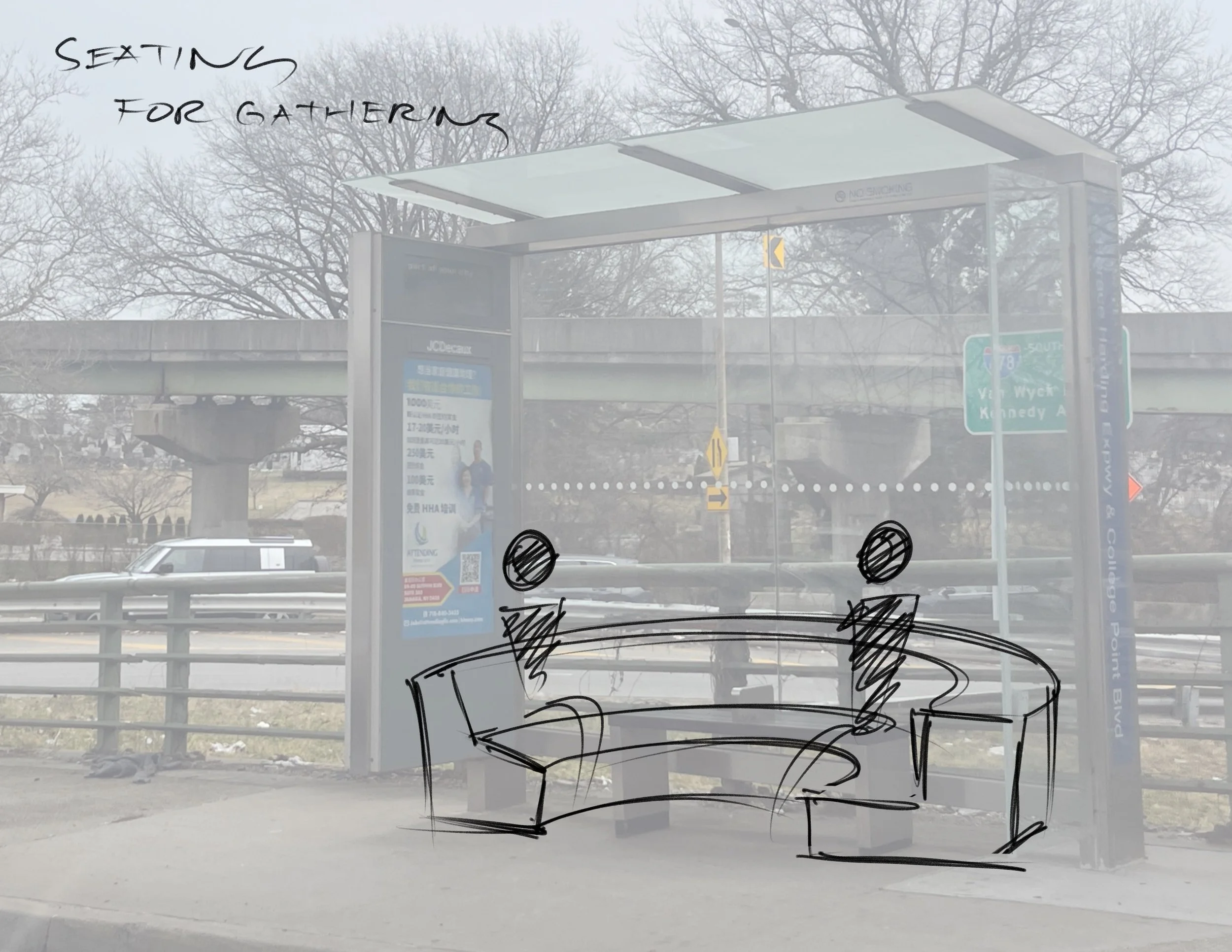
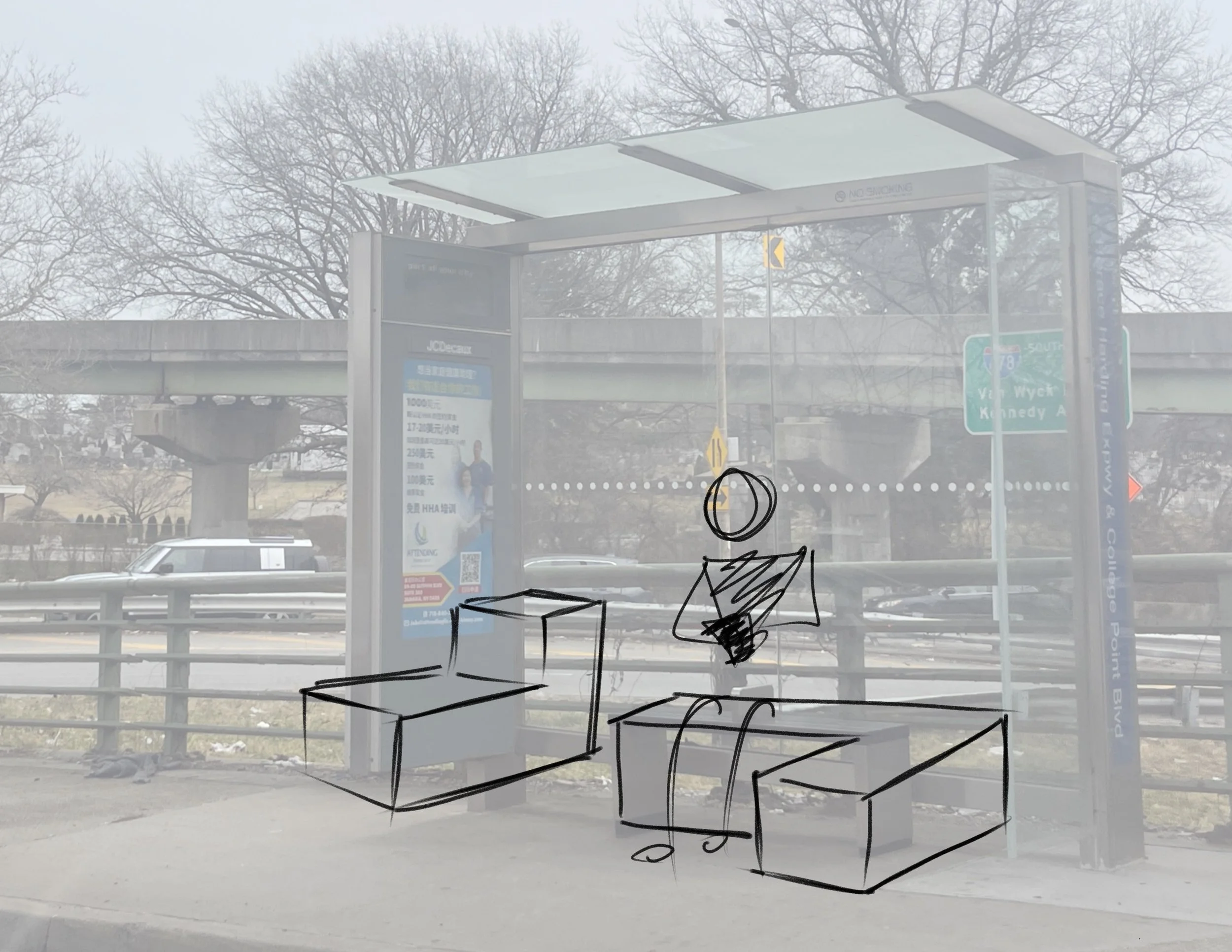
ONE: THE BENCH

Bus shelter with a digital advertisement, street signs, and a parking lot background. There are trees and a bridge visible in the distance.

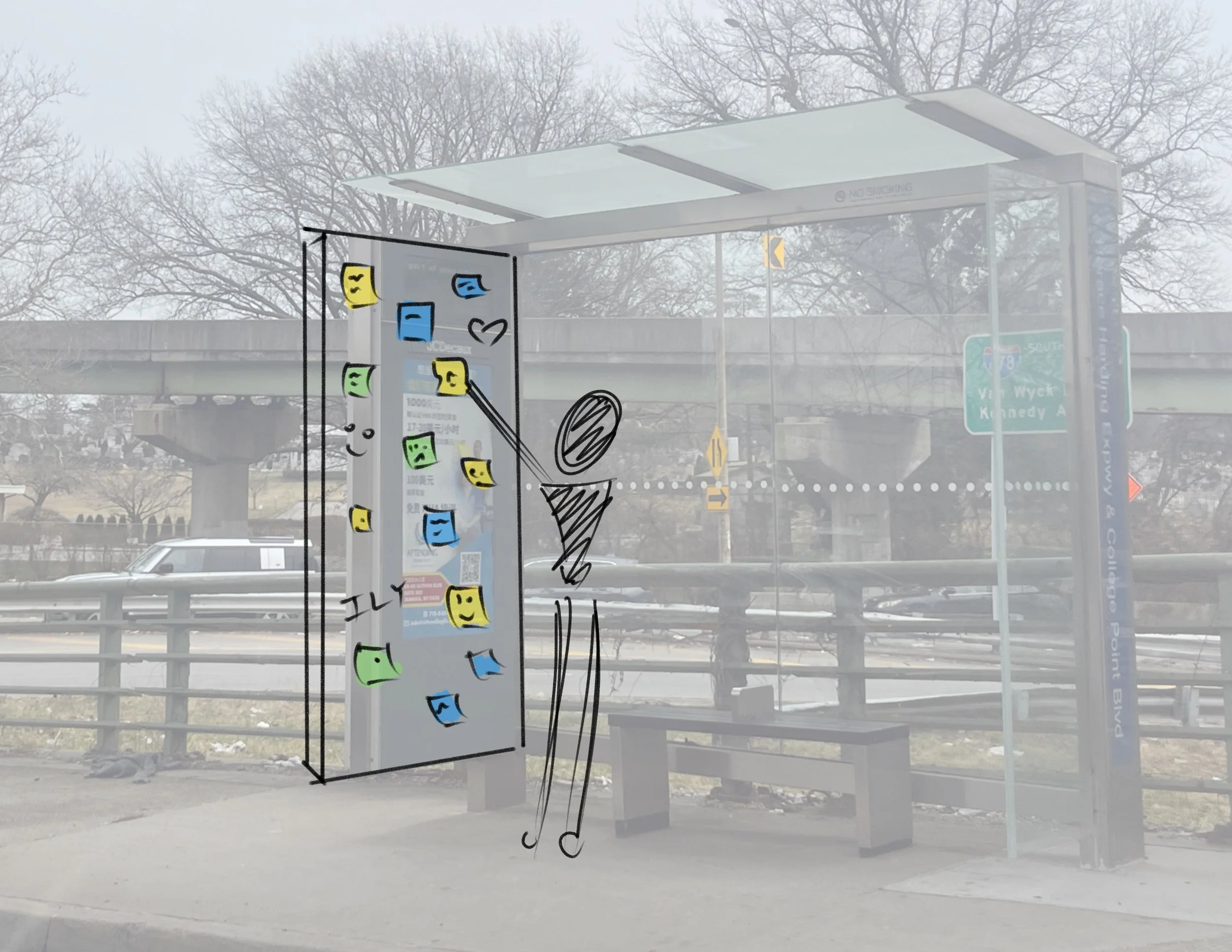
TWO: THE WALL

A bus stop shelter with a glass roof and side panels, a bench, and a digital display, located on a sidewalk near a highway overpass on a cloudy day with leafless trees in the background.
Bus stop shelter with overhead roof, sign, and advertisement billboard, situated beside a street with cars, near a bridge, with leafless trees in the background on a foggy day.
A bus stop shelter with a printed poster and colorful sticky notes, with hand-drawn doodles of a smiling face, arrows, and organized lines on the glass panel in front of it. The background shows leafless trees, a highway overpass, road signs, and parked cars in an overcast weather.
A bus stop shelter with a glass back and a roof, featuring posters and advertisements. There are leafless trees and a bridge in the background, with cars passing by on the street. The image is used as a background for rough sketches of furniture and objects.

THREE: THE POLE

City street scene with leafless trees, a building with a sign, and a street sign indicating Q58 bus route and wheelchair accessible. Hand-drawn graphic of an ice cream cone is overlaid.
A transparent glass window with sketches drawn on it including a cup of coffee and a heart with scribbles. The background includes trees without leaves, a street sign for Q58 bus, and buildings and storefronts in an urban neighborhood.

LAYOUT ITERATION

Four different New York City bus stop signs, each indicating no standing zone on Flatbush Avenue and Utica Avenue, with variations in arrow directions and design.
Multiple transportation route signs indicating B9 to Bay Ridge and B41 to Downtown Brooklyn, with some signs showing route numbers 05 or 05 in electronic displays, in various colors including blue, purple, and gray.